High Neb Short Loop - Easy Hiking Trail along Stanage Edge
Explore prehistoric carvings, medieval packhorse routes, and enough millstones to give Fred Flintstone a lifetime's worth of tyre changes on this 5km route.
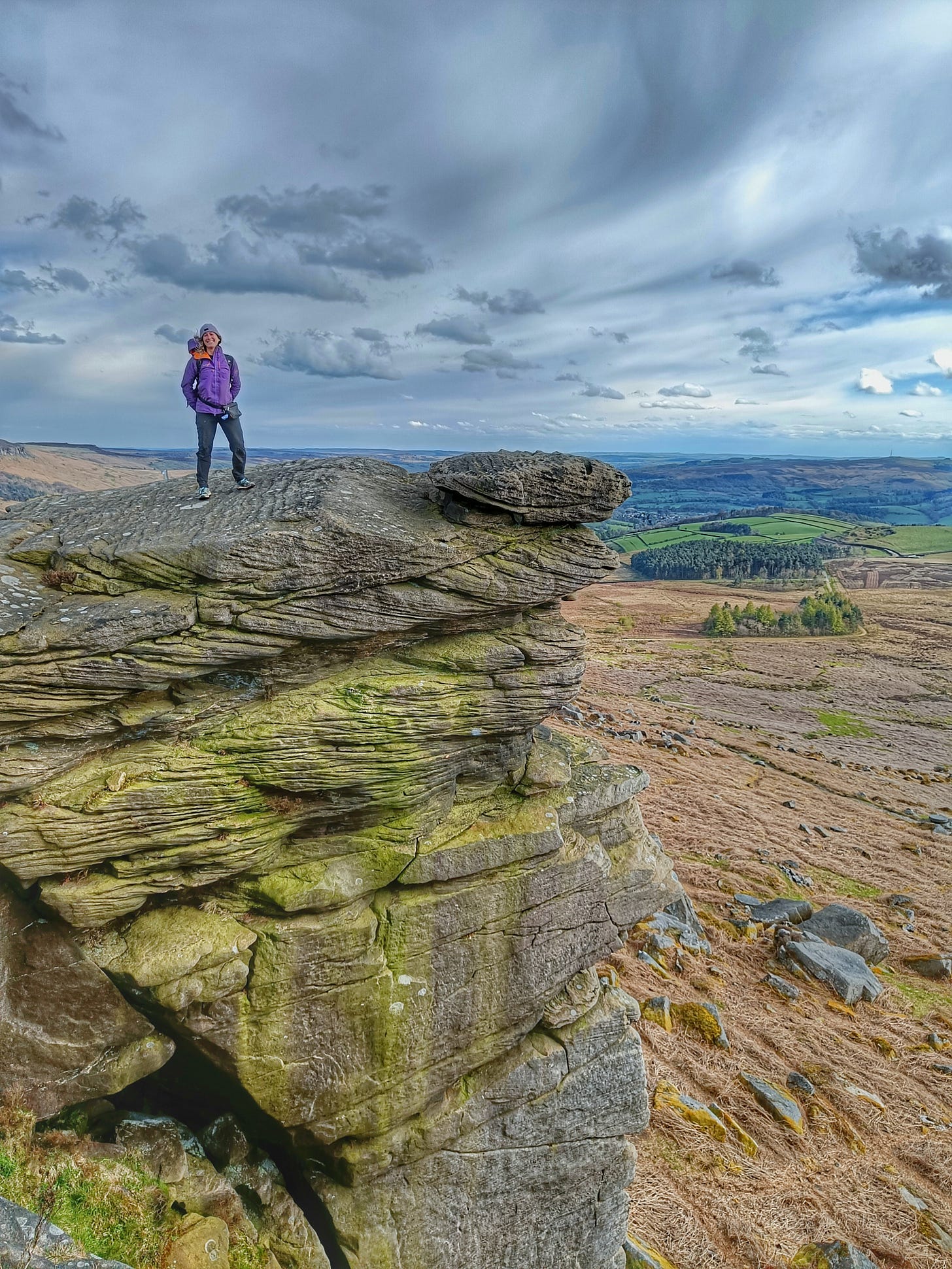
This month's hiking route is short and sweet but more than delivers on archaeological sites and scenic views. Situated at the far end of Stanage Edge by Dennis Knoll car park, this iconic escarpment's quieter part allows you to explore its heritage with relatively few others nearby.
Prehistoric carvings and Tudor structures
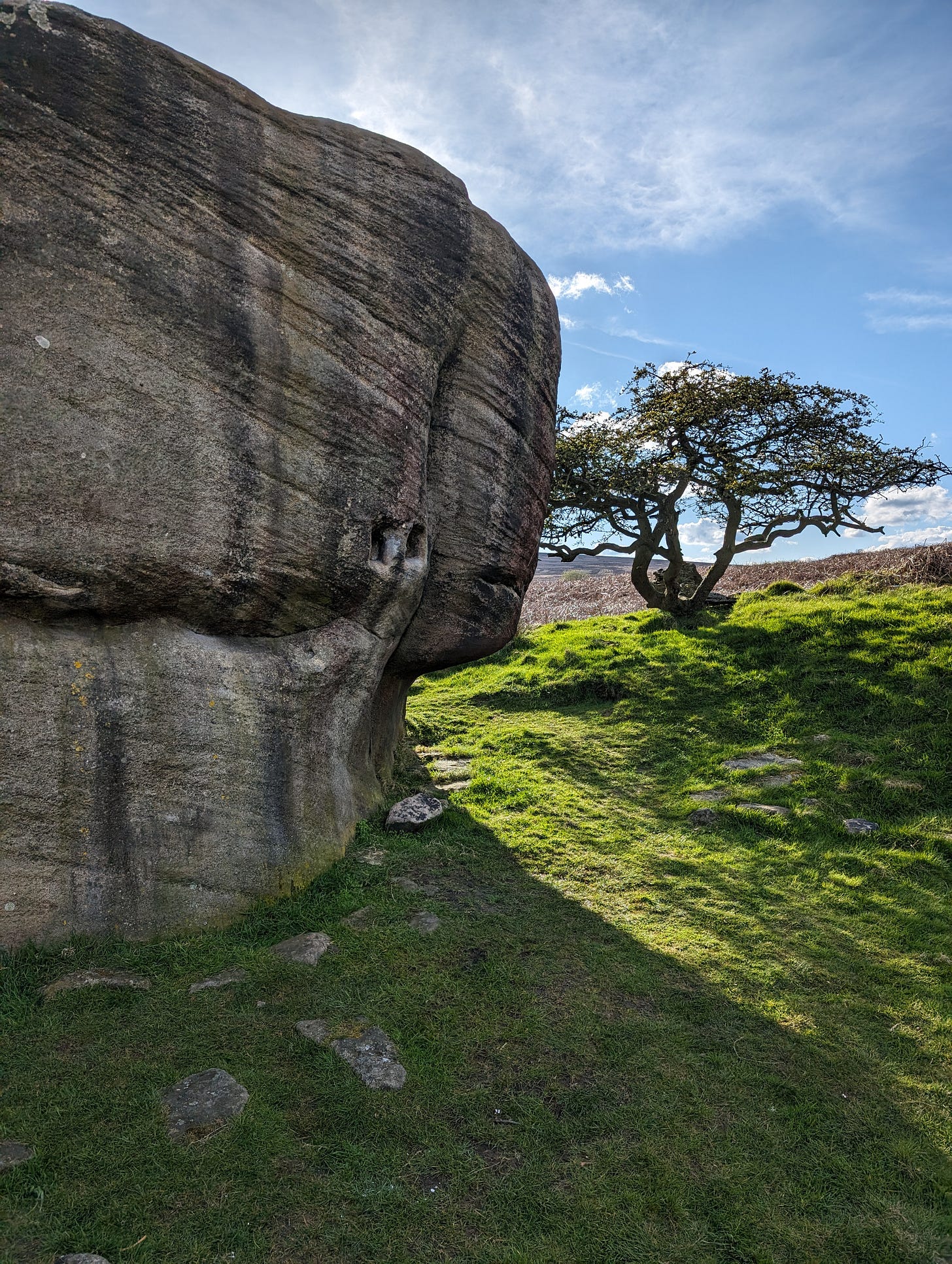
The Buckstone's name belies its peculiar history and somewhat baffling purpose. At first glance, you might assume the footholds are due to the well-worn tread of boulderers. The longer you gaze at the Buckstone, the more manufactured features jump out at you. I liken it to a Magic Eye image.
Rectangular nooks sit around head height, and smaller ones dot around the circumference of the Buckstone. A keen eye can also spot gullies carved above these sockets around the edges of the boulder. Smaller stones nestle around the periphery of the Buckstone as a raised bed, calling into question the rock's broader purpose.
Taking these features into account, it’s possible the Buckstone once supported structures for a homestead, watering hole, or even a beerhouse for travellers on the nearby packhorse routes.
However things take a more intriguing turn when you climb up the Buckstone.
As you climb up, a carving of a human, with fingers faintly visible, can be seen. Other features, like a faint rosette and cup marks and fittings for a handrail, are apparent. It's unclear why these carvings were made, or why the roof of Buckstone held such significance.
Buckstone can't promise to give you answers to its myriad purposes, but it offers a good spot for views and an opportunity to explore the history of Stanage Edge. If you'd like to learn more about the site, The Stanage and North Lees Heritage Action Group completed a research paper on the fieldwork of the Buckstone that's free to read online.
The Long Causeway
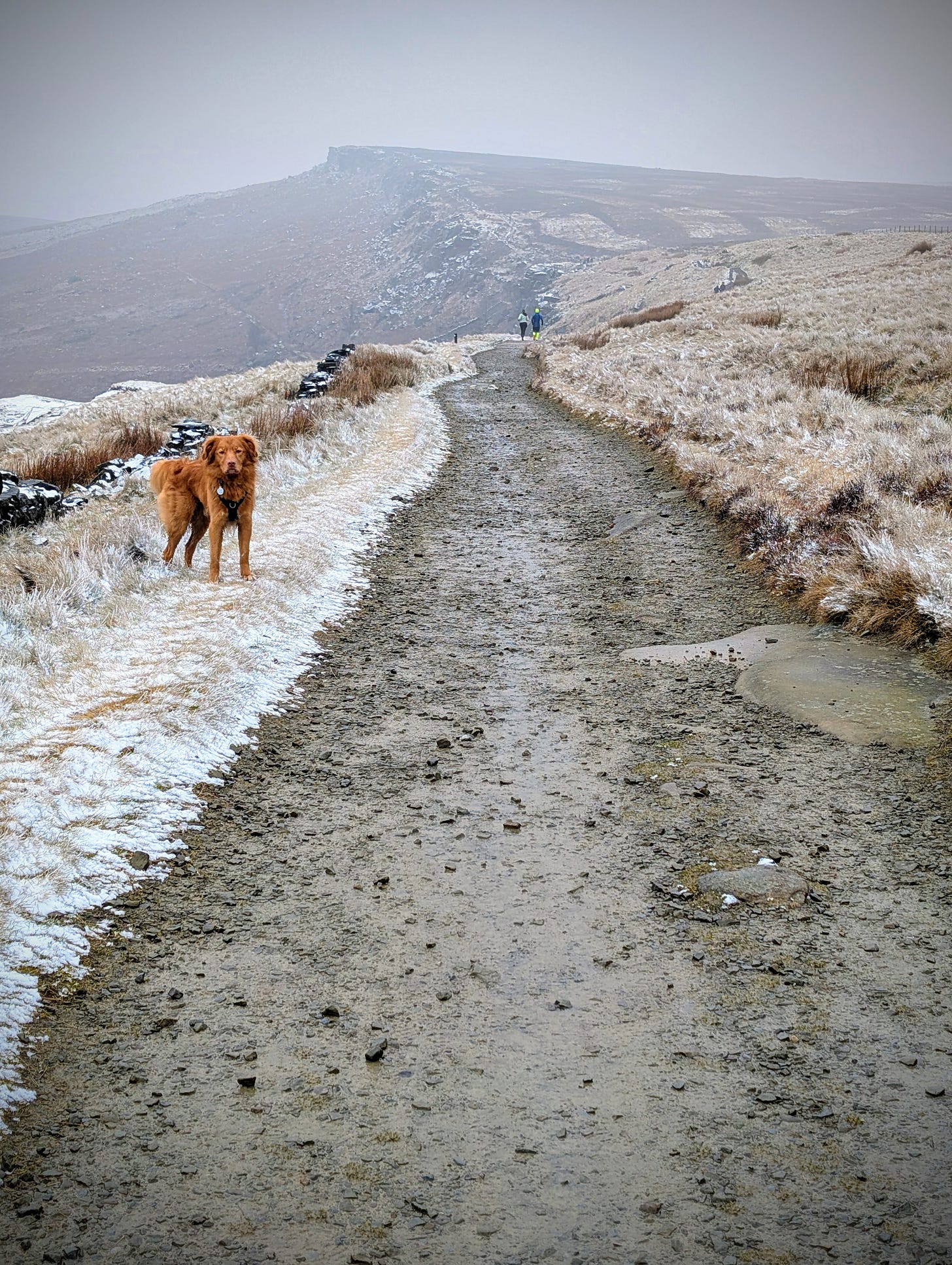
The route starts in prehistory, but as it moves up in elevation, we pass a millennium or so into the medieval period. The flat expanse of the summit of Stanage Edge features a medieval footpath eroded by hooves, cartwheels and footsteps for hundreds of years. The Long Causeway, as it is known, stretched from Hathersage to Sheffield. When you hike the route today, it's easy to see why the trail had a notorious reputation for its steepness.
In the distance, it's possible to see Stanage Pole, a trail marker in situ since 1550 to offer direction towards Sheffield. Imagine you're a merchant traversing The Long Causeway in winter. After withstanding boggy terrain, cold temperatures, and fierce winds against flat moors, having a beerhouse or shelter at the junction where The Buckstone sits would be a welcome reprieve for travellers.
Antiquated watering holes
Veering away from The Long Causeway the northernmost stretches of Stanage Edge invite you to slow down and meander. With panoramic views of Hathersage and nearby Hope Valley, it's easy to miss the archaeology literally under your feet.
Given the proximity of prehistoric and medieval heritage in Stanage, you'd be forgiven for assuming these carvings are ancient. They're fairly new in the grand scheme of human existence.
In 1907, Hallam Moor's owner, snuff manufacturer William Wilson, paid to have a series of watering holes carved into Stanage's upper rock faces to keep his grouse hydrated. To ensure Wilson didn't overpay for work he didn't brief out, each watering hole has a number assigned to it.
If you want a next-level geocaching challenge, try to find all the grouse drinking holes around Stanage Edge and the surrounding moor (hint: several are severely overgrown and remote).
Millstone frenzy
If the walk starts in prehistory, it seems fitting that it finishes in a more modern era. Descending from the top of Stanage Edge after summiting the nearby High Neb peak, you'll discover a proliferation of millstones. The Peak District's gritstone was vital in producing these wheel-shaped tools to grind grains across Europe. Stanage Edge was a massive source of quarrying material to create millstones.
Centuries of production were ground to a halt across the Peak District after the creation of millstones using French Burr stone. The quartz didn't discolour nor leave grit in the flour. It quickly became favoured for grinding grains over millstones.
Almost overnight, millstone production abruptly stopped. You can still see millstones abandoned halfway through creation along the route back to Dennis Knoll car park.

Next time you walk along Stanage Edge, take a moment to appreciate how its literal and metaphorical grit has shaped history. It's helped produce the food humans ate and provided raw materials for centuries for other uses. It provides shelter for travellers brave enough to traverse the Peak District's sometimes harsh and relentless conditions.
You can view the High Neb Short Loop route on OS maps and download the GPS file to guide you in the app. Do share your photos, comments and experiences of the trail with me. It’s great to see others discover and enjoy these sites!
Trail essentials
Distance: 4.56 km
Time: approx. 1.5 hours
Terrain: track for the uphill and downhill sections to the summit of Stanage Edge, sandy/rocky terrain for the section to High Neb
Parking: Dennis Knoll car park, £2.50 for 2 hours of parking. Pay using the RingGo app, cashless payment only
Food: the nearest options are in Hathersage village, 2.1 miles away. You’re advised to pack your own food
Toilet facilities: free toilets are available at Hollins Bank car park, 0.9 miles from Dennis Knoll car park


